Detail needed
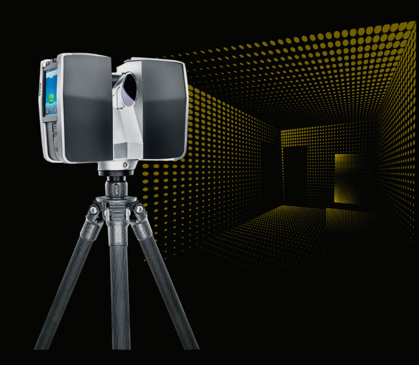
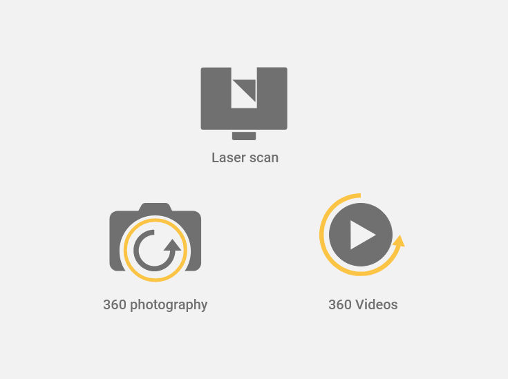
The separate use of laser scanning, 360 photography and videos is already very common. However, the combination of these three techniques provides significant benefits to the industry in terms of cost savings and time.
Value proposition
3DVES has developed a solution that combines these three techniques, allowing for enriched 3D models that offer higher definition, resolution, accuracy and reality. The benefit of this combined model is the ability to generate a higher degree of results, whether they are simulations, designs, calculations or scenarios.
Architecture, Engineering and Construction (AEC)
Scanning by stage
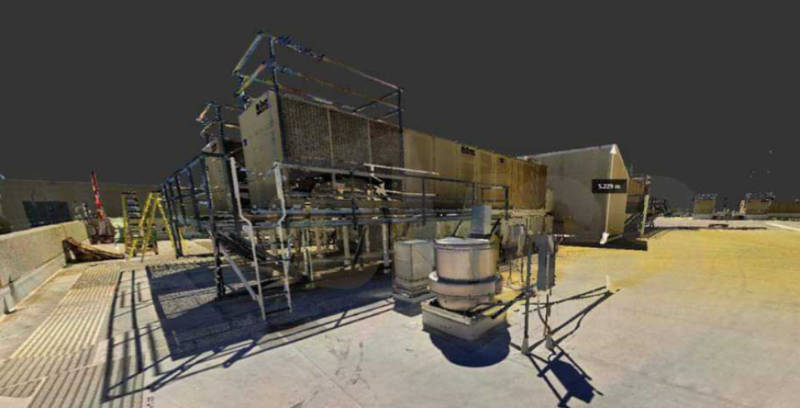
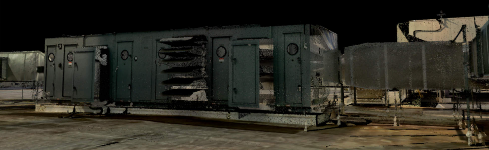
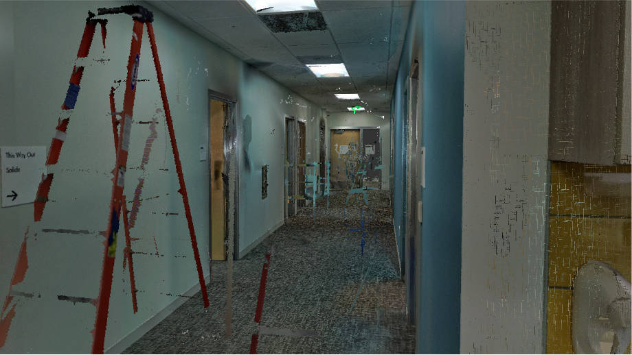
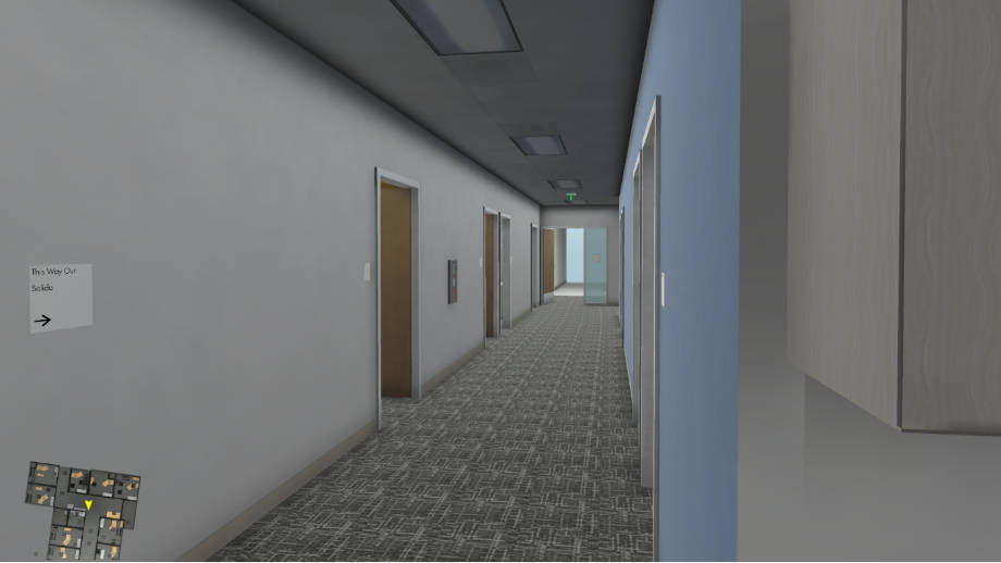
A practical and useful application of Laser Scanning for AEC is in the area of traceability, which can be applied from the design stage to the inspection stage or only on certain stages.

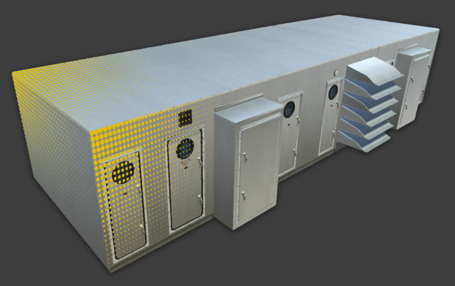
Plant, process and Marine
The 3DVES approach to traceability starts by defining the frequency of the scans based on the construction schedule compared against the design model. The results are delivered in a virtual 3D Model that allows the user to navigate, compare plan to actual and generate visual reports about any subject need.
Scanning by stage
A practical and useful application of Laser Scanning for AEC is in the area of traceability, which can be applied from the design stage to the inspection stage or just on certain stages.
Plant, process and Marine
The 3DVES approach to traceability starts by defining the frequency of the scans based on the construction schedule compared against the design model. The results are delivered in a virtual 3D Model that allows the user to navigate, compare the planned to actuals, and generate visual reports about any subject needed.